Effective 18th November 2024, SDP Consulting Engineers and SDP Surveys will be rebranded as Wintech, following our acquisition by Wintech earlier this year.
Wintech has long been recognised for its expertise in façade engineering, and in recent years, we have broadened our capabilities to meet the complex demands of today’s built environment. Wintech services now encompass:
- Civil Engineering
- Structural Engineering
- Fire Engineering
- Building Services Engineering
- Façade Engineering
- Access Consultancy
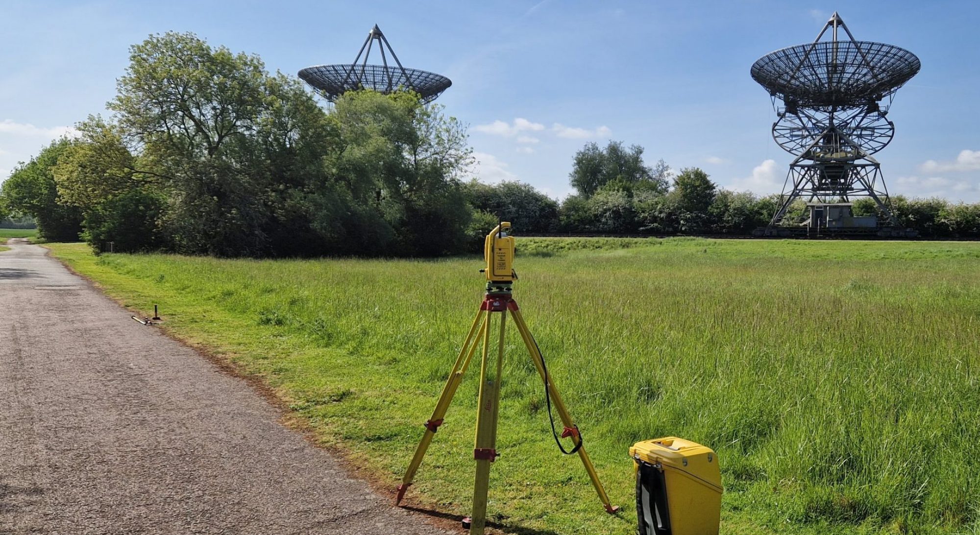
- Geomatic Surveying
We provide our clients with an integrated and collaborative approach to building consultancy, engineering and design. Our mission is to elevate design and collaboration throughout our disciplines to help create sustainable solutions that address the challenges of modern construction.
Please wait while you are redirected...or Click Here if you do not want to wait.