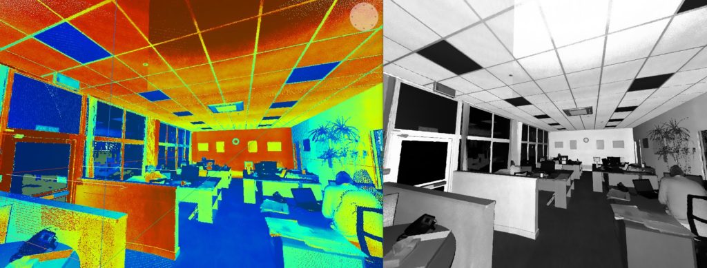
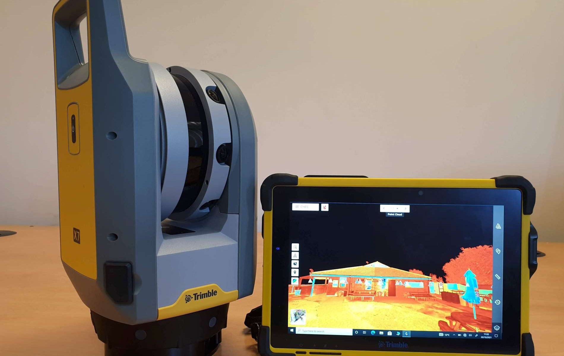
SDP Surveys have been using 3D laser scanners for the best part of 20 years, being early adopters of this technology. Most projects now include scanning in some form. In summer 2021 we invested further in a cutting edge Trimble X7 laser scanner to add to our range of surveying equipment. Our surveyors can efficiently collect millions of 3D observations in a short period of time. Using a scanner can cut out costly return visits to site, due to the completeness of the data sets typically collected. Millions of survey points can be collected in seconds, at high resolution, with real time registration on the fly, so our surveyors can check results as they go. The scanner has an onboard digital camera which can record 360 degree panoramic images at each scan location, and allows colourisation of the scan data. Full colour scan data provides a very realistic experience in CAD. The imagery can be shared online or locally via USB stick with a free viewer, giving design teams collaborative access to the site from their desktops.
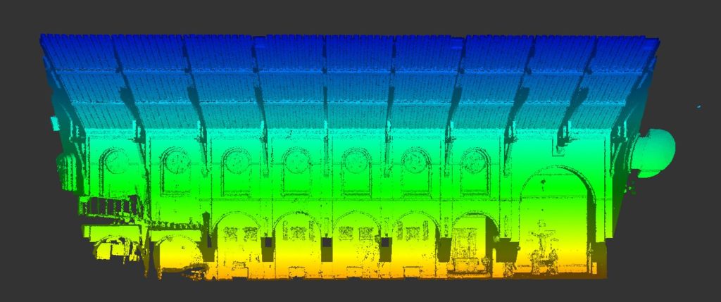
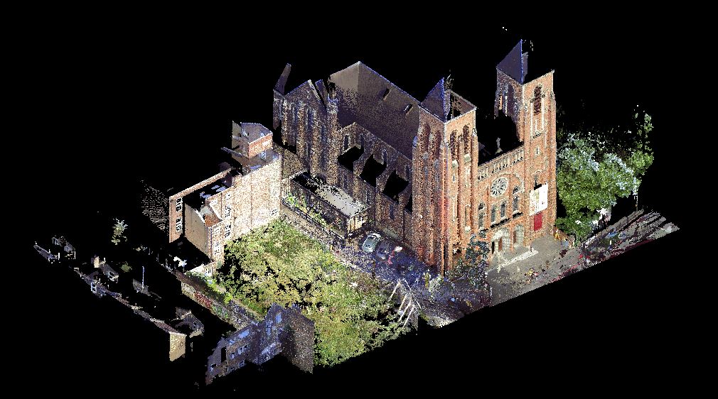
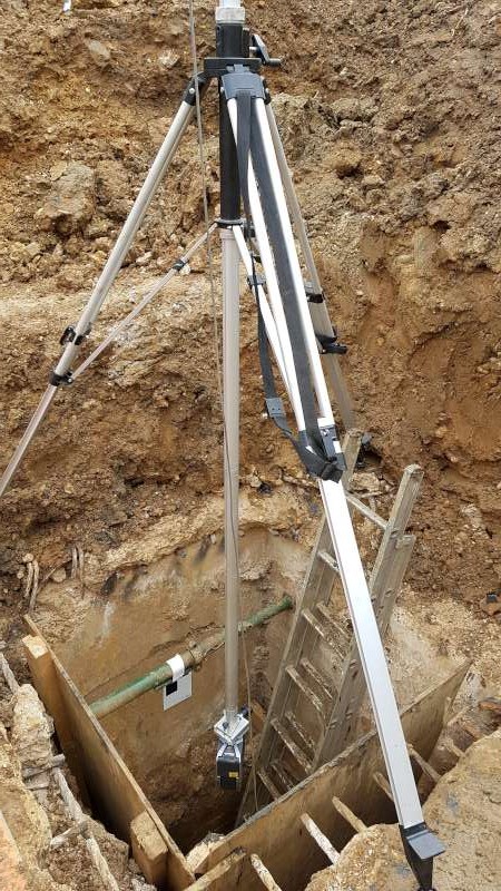
Laser scanning gives great benefits where access is difficult, dangerous or restricted. The output is in the form of a 3D point cloud for use in CAD or specialist modelling software. Point clouds can be used to produce traditional 2D plans also – floor plans, elevations, sections and even topographical data in some situations, or 3D rendered models and fly throughs. Laser scanning is particularly suitable for recording archive details of historic buildings and objects.
We can provide registered point cloud data for clients that prefer to complete their own post production, drawings, models and visualisations.